
VECTOR SCOPE AI
Collaborative map updates for agencies
Vector Ledger is a hosted app: upload a shapefile, edit on the map, approve the change list, publish GeoParquet and a web map.
Future architecture
Roadmap: tighter ArcGIS sync, Iceberg tables, heavier GIS production. The live product is Setup → Editor → Dashboard → Lake.
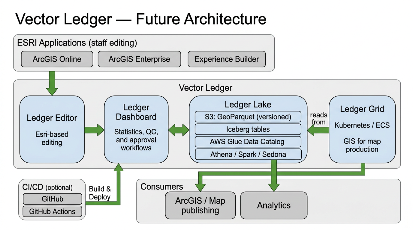
Four parts
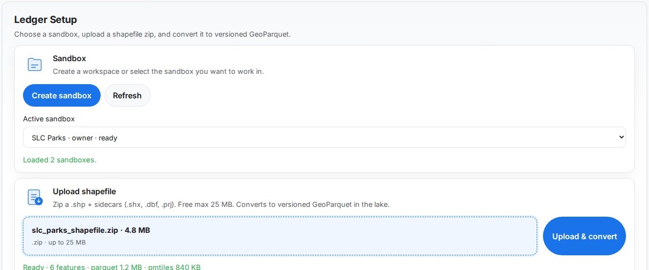
Ledger Setup
Sandbox, shapefile zip, GeoParquet
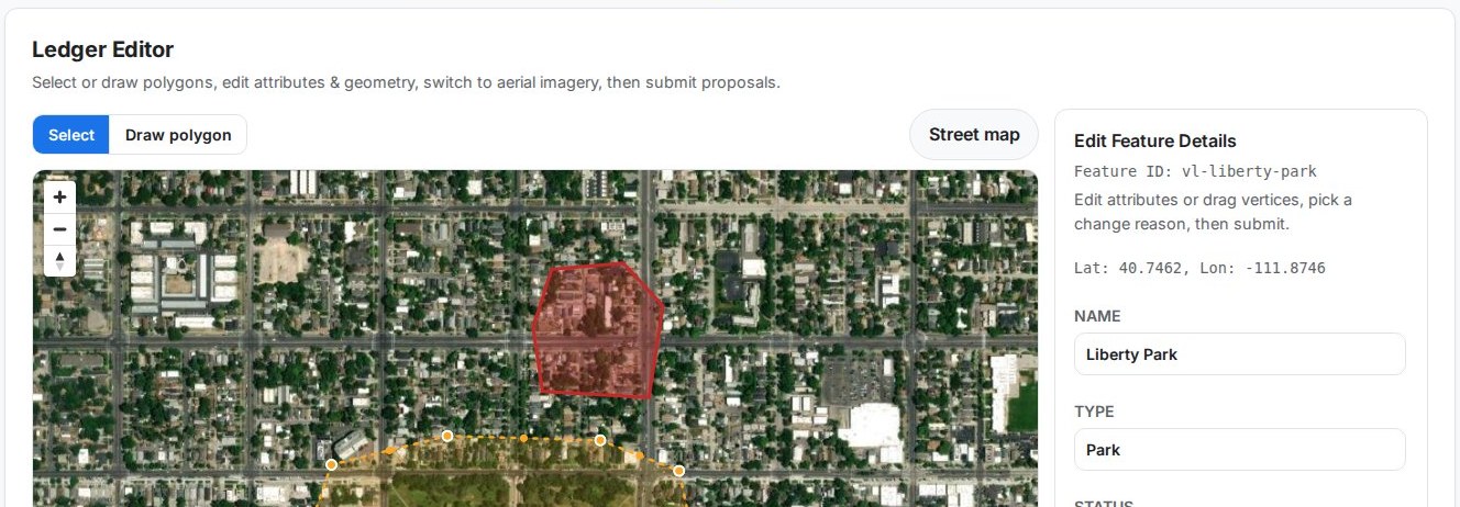
Ledger Editor
Draw and edit on the map
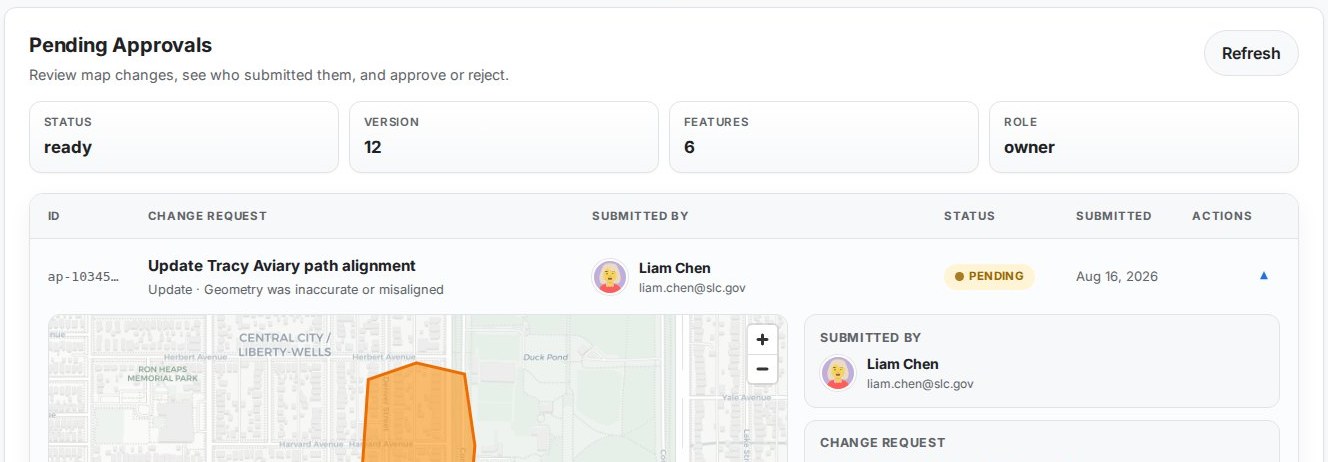
Ledger Dashboard
Proposals, roles, invites
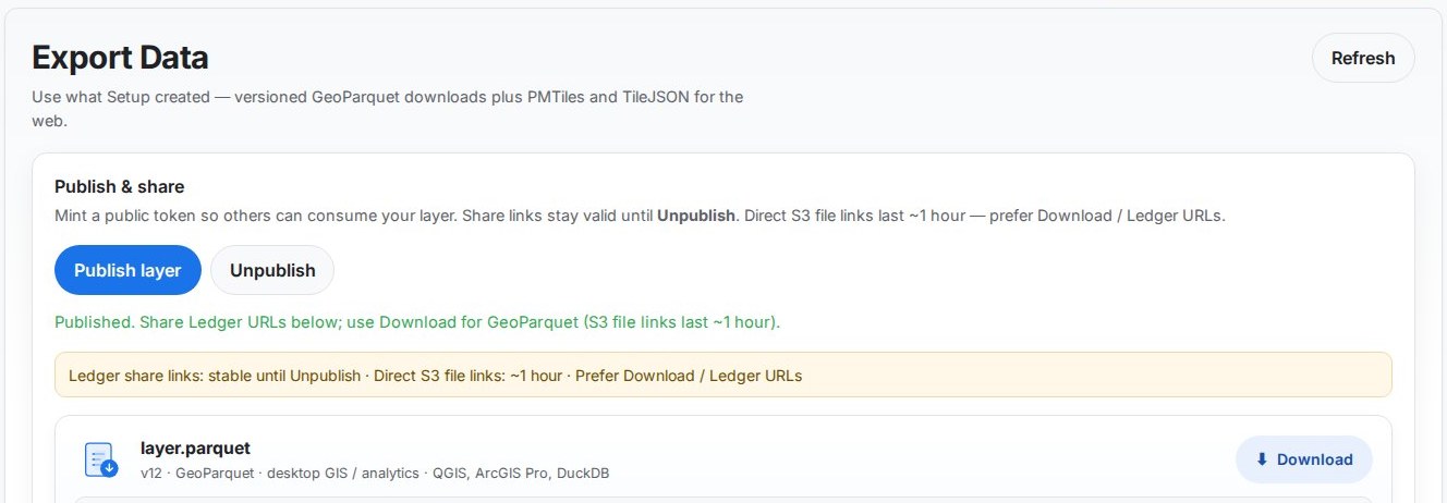
Ledger Lake
GeoParquet, PMTiles, MapLibre
Open files, a real web map
GeoParquet for desktop GIS and analytics. PMTiles and TileJSON for MapLibre. QGIS and ArcGIS Pro can open the lake file.



Iceberg and deeper ArcGIS Online sync are on the roadmap.
Proof: Global Ski Atlas
3000+ resorts, live web editing, versioned data. Same workflow available for agency data (boundaries, infrastructure, program areas).
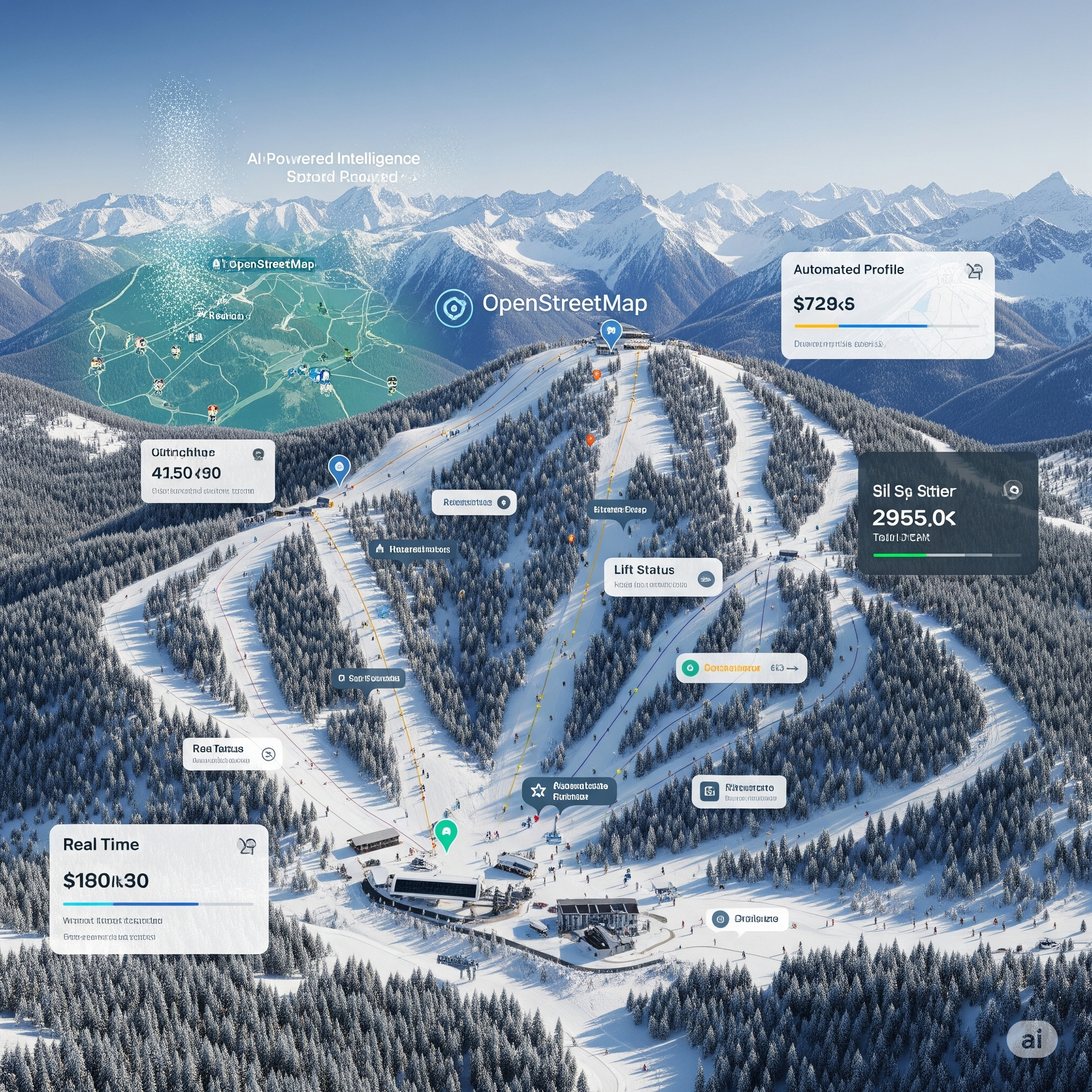
Today: OSM data · MapTiler, MapLibre, DynamoDB · 3000+ resorts, web editor, public atlas.
It is a related vertical, not Vector Ledger running on Esri.
Team & contact
Jonathan Witcoski — Founder & GIS Architect
Fifteen-plus years of federal GIS (CDC, Census, ARNG, DHS). Built Vector Ledger so map data does not die in email.
Vector Scope AI
vectorscopeai.com · request info